Updated on September 27, 2020
Norway, a different kind of ‘exotic’
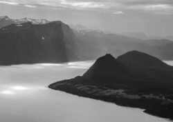
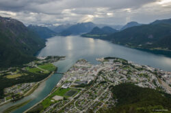
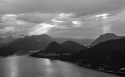
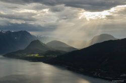
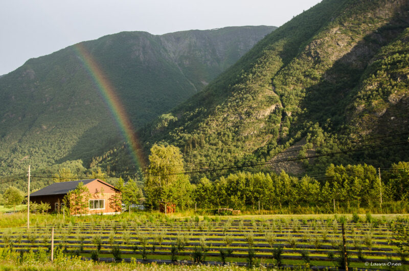
I had been dreaming of the fjords in Norway for quite a while, thus I put a lot of enthusiasm, time and effort into searching for the wildest things and planning a way to make the most of our stay. No exaggeration when I say that planning and researching for the trip proved to be almost as exciting and fulfilling as the trip itself. Norway exceeded any expectations. You will see rainbows, in a literal way I mean, so many that you can take some to go and share them with someone in need when the case may be. At first I thought this might be nature’s way of making up for too much rain. However, this assumption seemed to be wrong when facing with the fact that we had many rainbows and 2 weeks of sunny days altogether. We must have been lucky…
Many things to say about this country, about this trip, most of them can’t be described in words, are to be felt. I’ll leave you with a mini journal encompassing daily notes on our main endeavours.
Day 1: Bergen
We chose to land on Bergen airport because it was the best option considering the main areas we wanted to cover during our two weeks in Norway. Following the same principle, you can chose any other airport (and Norway has plenty) depending on the places you want to explore, in order to save costs and time.
Day 2: Hike to Lake Bondhus and Bondhusbreen glacier, and accommodation in Hardangerfjord
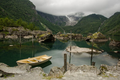
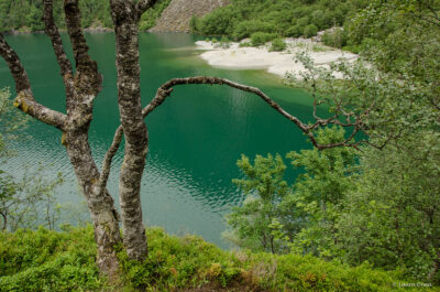
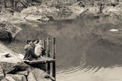
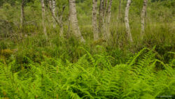
The hike to Lake Bondhus and Bondhusbreen glacier takes approx. 4-5 hours (round trip) and it is relatively easy to follow. To be on the safe side, it’s better that your hiking boots have good grip and are waterproof, as if it rains (which is very likely in Norway) the stones can become quite slippery. It was, without doubt, one of my favourite hikes in Norway. The scenery is beautiful, quite diverse in nature and rich in colours. The forest undergoes several changes in terms of vegetation as you go along, and on more than half of the hike you will have the magical Lake Bondhus on your side. The lake, too, changes in colour, depending on light or weather.
*I highly recommend Oddland camping, in Hardangerfjord. Yes, the cabins are cosy and well equipped, and yes, the prices are very reasonable, but what makes it so unique is the location, right on the shore of the fjord. And of course this comes along with a room with a view.
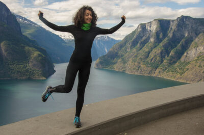
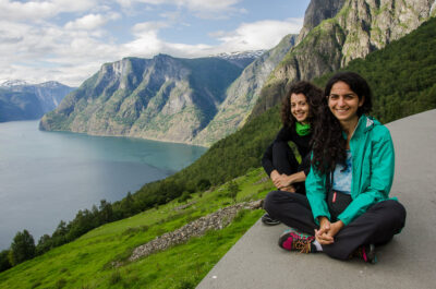
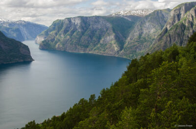
Day 3: Sognefjord area (Sognefjord is the largest fjord in Norway and the third longest fjord in the world) – hike along Aurlandsdalen (Aurlandsfjord is a branch of the main Sognefjord)
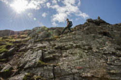
Our initial plan was to hike along Aurlandsdalen (Aurland valley), in order to have top views over the fjord, starting from Østerbø and ending at Vassbygdi. However, we got lost at some point on the route and given the late hour we decided to do another shorter hike to one of the peaks. The routes are not very well marked so it is recommended to have a good map, if not a GPS, for hikes.
Day 4: Sognefjord area – drive on the Old Road (Aurlandsfjellet National Tourist Route) and Borgund Stave Church
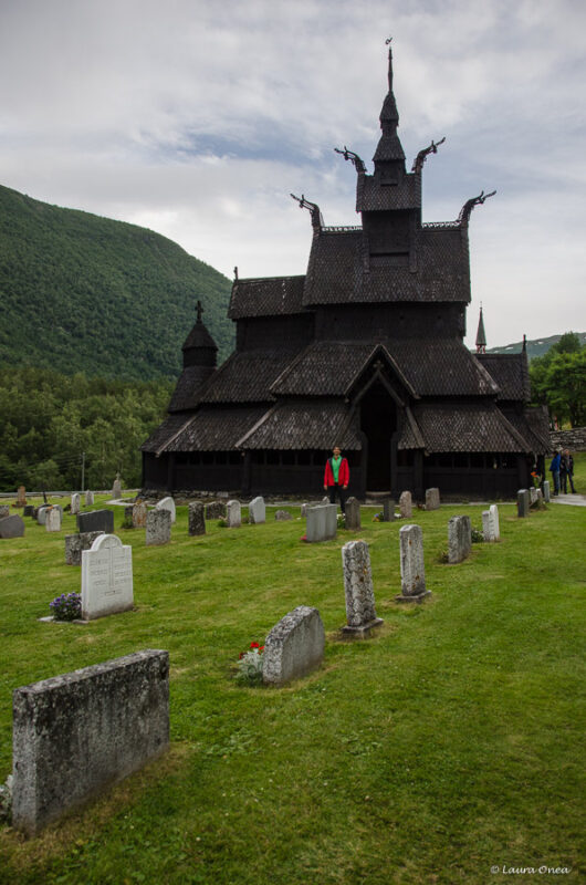
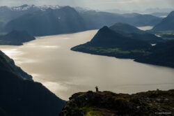
The Old Road is a 47-kilometre-long stretch of road, a scenic route between Aurland and Lærdal that offers wonderful views over the Aurlandsfjord. Basically, you drive with the fjord on one side and the mountains/the rocks on the other side. The road between Aurland and Lærdal has its highest point at 1306 metres above sea level and the mountains are covered in snow during most of the summer. We then went to the Borgund village to see the Stave Church, which I wouldn’t miss if I were you. It’s different from all of the churches I had seen thus far, resembling an upside down ship from the inside, and its location is very peaceful.
Day 5: Sognefjord area – hike along the Nærøyfjord
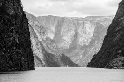
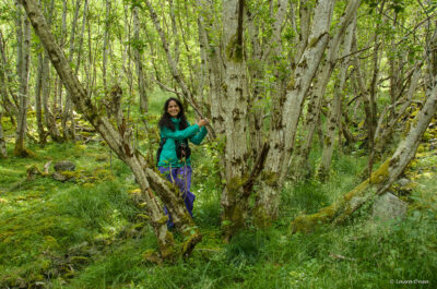
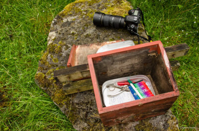
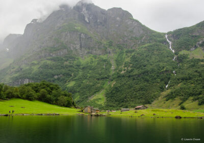
The hike along the Nærøyfjord (that is literally a narrow fjord) is another favourite on my list, due to its wild and fairy-like nature. The hike is an easy 12 km round trip, mainly through the forest, with lovely views over the emerald-like fjord. You will also pass by old farms and cultural remains. The path is part of The Royal Postal Route, which was established in 1600 between Bergen and Oslo. To reach the start of the hike we took the boat from Gudvangen to Flåm. We requested a special stop at Styvi where we began the walk. The funny and exciting part was that we were the only ones getting down at this ‘station’ and people from the boat waved their hands in both surprise and admiration. It gave us a Robinson Crusoe feeling and this feeling was kept all along the hike. After you finish the hike and return to Styvi, you need to push a signal button so that the boat will stop and pick you up back to Gudvangen.
Following the hike, on our way to Jotunheimen National Park, we took Route 55, also known as Sognefjellet National Tourist Route, which was another big surprise. The route reaches the highest mountain pass in Northern Europe (1434 metres above sea level), being awarded the status of national tourist route because of the spectacular and wild mountain scenery it passes through. I was in constant awe on the road and I promised to myself I will come back on that spot and camp, surrounded by the mountains covered in snow.
* I highly recommend the accommodation at Brimi Sæter, not to mention their breakfast. It’s in top 10 places where I spent the night. A combination of rural with exotic, without being kitschy at all, and the food is outrageously delicious, homemade and organic. It was pricier than the rest of the cabins but it was worth every NOK.
Day 6: Jotunheimen National Park – hike on Besseggen ridge
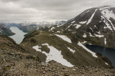
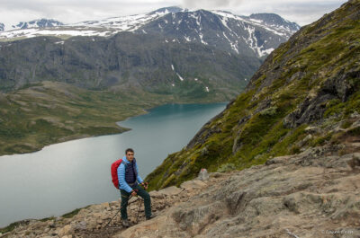
A classical route for the Besseggen ridge, a popular mountain hike in Norway, is the one starting from Gjendesheim, where you take the boat to Memurubu. Here is where the hike begins. It is a 6-7 hours long trip, relatively easy for experienced hikers, with one exposed and steep section in the first part of the hike. The trail’s highest point is Veslfjellet at 1743 m. Midway along the hike, you will have a great view over the lakes Gjende and Bessvatnet. What makes them special is them being so close to one another (separated by the ridge) and yet having 2 different colours. Bessvatnet has a blue colour typical of other lakes, while Gjende has a distinct green colour, which is the result from glacier runoff containing clay. During the summer months, the trail can be quite crowded, so it’s best to start the hike later in the day (the last boat from Gjendesheim to Memurubu was at 14:30) having in mind that it will get dark around 11 PM. Some prefer to do the hike backwards, the only thing you need to take into account is that the last pick up boat from Memurubu to Gjendesheim is at 16:30, or around this time, depending on the time of the year.
Day 7: Romsdal area – Troll Wall (Trollveggen) and Trollstigen
Romsdal area, with its beautiful valley and rocky mountains, was, in my opinion, the nicest and most diverse in natural landscape, of all the areas we explored during our trip in Norway. We had had a good intuition and we had planned 3 nights in this particular spot, which gave us some time to explore it in more depth. In the end, though, even this allocated time proved to be insufficient. A good reason to come back!
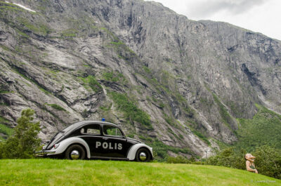
The mountains do change in shape in this area, as compared to the flatter-looking previous ones. They reminded me of the breathtaking rocky views in Făgăraș Mountains and of the jagged ridges in the Dolomites. We did see the famous Trollveggen on our first day in the area, but only from the bottom, which made us even more excited to experience its majesty from the Romsdalseggen ridge. Trollveggen, also known as Troll Wall, is the highest vertical rock wall in Europe and a desirable challenge for the climbers and base jumpers.
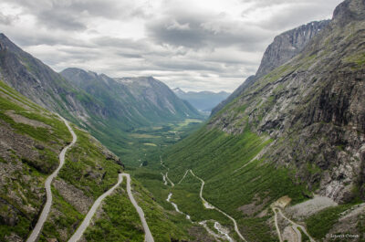
We also drove along the Trollstigen National Tourist Route, a serpentine mountain road that offers dizzying views of valleys, waterfalls, sheer mountainsides and deep fjords. It resembles, in many ways, the Transfăgărășan Road.
Day 8: Romsdal area – hike towards Innerdalen valley
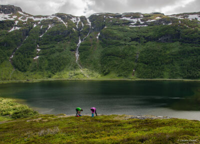
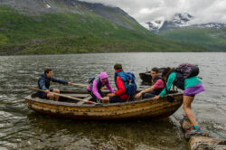
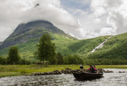
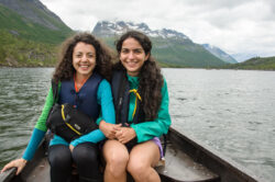
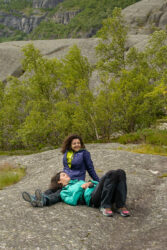
Another one on my top list, the walk to Innerdalen valley is a very easy short hike (approx. 1 hour, one way) but hugely rewarding in terms of landscape. You stroll along a woodland path until you reach the valley that welcomes you with a crystal clear lake surrounded by forests and mountains. Standing tall amidst all, impossible not to notice it, is the Innerdalstårnet, a 1452-metre tall mountain, also known as the Matterhorn of the North, due to its pyramidal shape. If available, borrow some lifejackets from the cabin in the valley, take the small boats and row on the lake as much as you’d like. It’s free of charge. And don’t forget to treat yourself with some homemade waffles inside the same cabin, the best I’ve tasted so far. It’s impossible to miss them, you can feel the luring smell from the outside. This is another place where we would definitely come back, as there are plenty of hikes starting from the valley that we haven’t had time to explore.
Day 9: Romsdal area – hike on the Romsdalseggen ridge
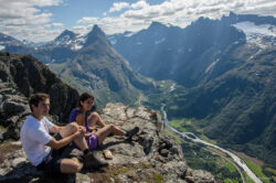
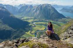
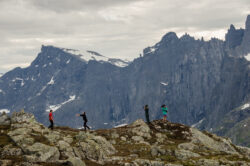
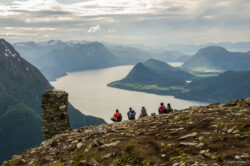
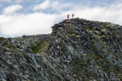
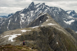
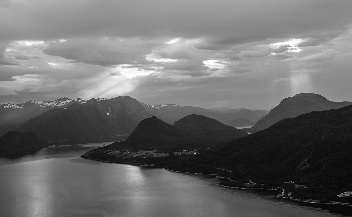
Still shivering with enthusiasm when remembering the day, I must admit this was the day I enjoyed most while in Norway, and it probably was the most beautiful hiking trip I have done thus far. The hike on the ridge can take between 6-9 hours, depending on how experienced you are or on how much time you want to spend enjoying the 360 degrees view. We took Vengedalen as a starting point, ending the hike in Åndalsnes. In terms of the level of difficulty, I would say ‘medium’, due to its several exposed and steep sections. However, if you do not suffer from altitude sickness, these particular sections can offer spectacular views over the rocky mountains, deep blue lakes and the Romsdalsfjord. The Troll Wall can be seen at its best from the ridge. And if you are lucky enough, a playful sunset light can stand as icing on the cake.
Day 10: Short visit to Ålesund and in search of puffins in Runde
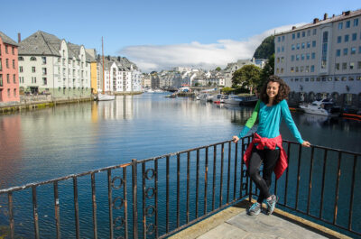
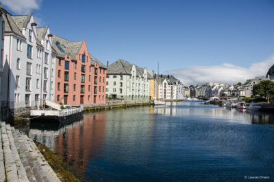
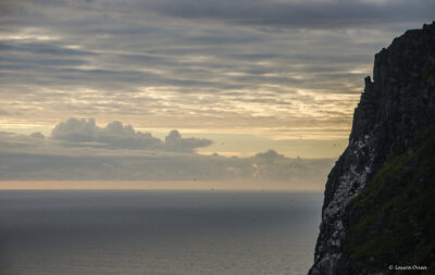
On our way to Runde, the birds’ island, we took advantage of the warm and shiny day and stopped for a couple of hours in Ålesund, the nicest town we came across in Norway, with its art nouveau architecture and beautiful port. Runde made a very good first impression, despite the fact that we didn’t see any colourful adorable little clowns, as it was the end of birds season and probably too windy for them to fly so high over the rocks. One of the quieter, if not the quietest, and wilder places we experienced, the island gives you that feeling of profoundness and infiniteness, with its vast ocean and thousands of birds hovering over the rocks.
Day 11: Geirangerfjord – Dalsnibba viewpoint
On our way from Runde to Geiranger we stopped at Dalsnibba viewpoint. Dalsnibba is a mountain plateau at the end of Geiranger valley, with an elevation of 1476 m, offering panoramic views of the mountains covered in snow.
Day 12: Geirangerfjord – hike along the fjord and the Seven Sisters Waterfall
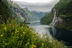
We took the boat from Geiranger village and requested a stop at Skageflå where we began our trip along the fjord. After about 45 min of steep ascent you reach the Skageflå historic mountain farm and you can continue your walk back to Geiranger village for approximately 3 hours. Count 4 if you want to taste from the local berries, wild strawberries, raspberries, blueberries and even redcurrants. Actually, ours couldn’t be called ‘tasting’. It rather replaced a full dinner, as we couldn’t stop eating, so rich was the harvest. The hike also offers the best view over the Seven Sisters Waterfall.
* Don’t miss eating at Olebuda restaurant in Geiranger village, it was probably the best cooked food we tried in Norway. Not too many international options by the way.
Day 13: Jostedalsbreen (Jostedal Glacier is the largest glacier in continental Europe) – hike to Briksdalsbreen glacier
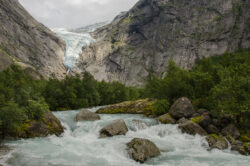
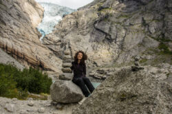
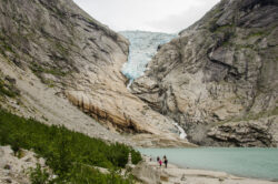
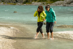
Because of the many hours we needed for driving back to Bergen, there was not much time left to explore the Jostedalsbreen area in depth, thus we decided to do just a short hike to Briksdalsbreen, one of the most accessible and best known arms of the Jostedalsbreen glacier. The walk is very easy (2 hours round trip) and the place, though maybe the most touristic of them all, is very beautiful. Small chances to resist the temptation to step your bare feet into the white-blue water. It is freezing cold but it’s only in this way that you can fully feel the glacier’s vibes.
Day 14: Bergen
Bergen is a nice town so if you have some time left after being in nature, do take a stroll by the port and the wooden houses. The open air market near the port is not to be missed either. It has fresh fish, fruits and other local specialties.
